 Metadados - GeoPortal / DF
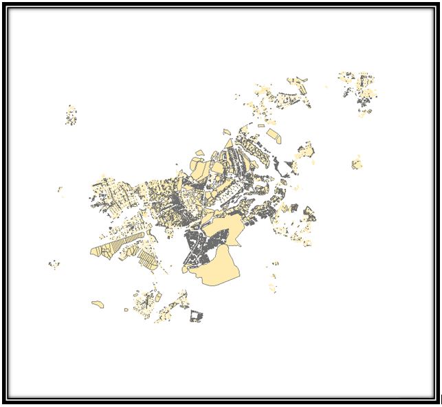
Lote Ocupação
The ISO19139/119 metadata standard is the preferred metadata standard
to use for services (WMS, WFS, WCS).
Simple
Identification info
- Date ( Revision )
- 2007-12-16T12:00:00
- Identifier
- https://www.metadados.segeth.df.gov.br/geonetwork/srv/metadata/a853cb76-0104-462d-aa94-9ee37afe713f
- Status
- Completed
- Keywords ( Theme )
-
- WFS
- WMS
- GEOSERVER
- GEONETWORK
- OSGeo
- Service Type
- OGC:WMS
- Service Version
- 1.1.1
- Fees
- NONE
N
S
E
W
))
- Coupling Type
- Tight
Contains Operations
- Operation Name
- GetCapabilities
- Protocol
- WWW:LINK-1.0-http--link
- Description
- Format : application/vnd.ogc.wms_xml
- Function
- Information
Contains Operations
- Operation Name
- GetMap
- Protocol
- WWW:LINK-1.0-http--link
- Description
- Format : image/png
- Function
- Information
- Protocol
- WWW:LINK-1.0-http--link
- Description
- Format : application/atom+xml
- Function
- Information
- Protocol
- WWW:LINK-1.0-http--link
- Description
- Format : application/openlayers
- Function
- Information
- Distribution format
-
-
(
)
-
(
)
- Protocol
- OGC:WMS-1.1.1-http-get-map
- Name
- gn:gboundaries
- Description
- Country boundaries
- Hierarchy level
- Service
- File identifier
- a853cb76-0104-462d-aa94-9ee37afe713f XML
- Metadata language
- en
- Character set
- UTF8
- Hierarchy level
- Service
- Date stamp
- 2021-09-02T14:42:46
- Metadata standard name
- ISO 19115:2003/19139
- Metadata standard version
- 1.0
Overviews

large_thumbnail
Spatial extent
N
S
E
W
Provided by

Associated resources
Not available